
Thermal Camera Drones in the USA: 5 Powerful Models Transforming Aerial Inspections
+
Table of Contents
- 1 What makes thermal imaging drones different?
- 2 5 Best Thermal Camera Drones to Consider in the USA
- 2.1 1. DJI Matrice 4T – A Powerful Solution for Emergency Operations
- 2.1.1 Important features:
- 2.1.2 Practical benefits:
- 2.2 2. Autel EVO Max 4T V2 – Designed for Challenging Field Conditions
- 2.2.1 Important features:
- 2.2.2 Practical benefits:
- 2.3 3. Autel EVO II Dual 640T V3 – Useful for Property Inspections
- 2.3.1 Important features:
- 2.3.2 Practical benefits:
- 2.4 4. SKYDIO X10 – ADVANCED TECHNOLOGY
- 2.4.1 Important Features
- 2.4.2 Practical Benefits
- 2.5 5. PARROT ANAFI USA – Compact Design For Mobile Teams
- 2.5.1 Important Features
- 2.5.2 Practical Benefits:
- 3 Comparison of Top Thermal Camera Drones
- 3.1 Where are Thermal Camera Drones Making a Difference?
- 3.1.1 1. Electric Power & Utility
- 3.1.2 2. Fire Departments and Emergency Services
- 3.1.3 3. Agriculture and Irrigation
- 3.1.4 4. Solar Energy Maintenance
- 3.1.5 5. Commercial Building Inspections
- 3.2 Important Things to Check Before Buying
- 4 Conclusion
- 4.1 FAQs
- 4.1.1 1. Can thermal camera drones spot people in forests?
- 4.1.2 2. Are thermal imaging drones good for home inspections?
- 4.1.3 3. Is 640×512 resolution suitable for professional inspections?
- 4.1.4 4. Can thermal drones figure out electrical issues?
- 4.1.5 5. What is the weather like for thermal drone operations?
- 4.1.6 6. Are thermal drones expensive in the USA?
Imagine being able to inspect a large solar farm without having to walk between hundreds of solar panels or being able to locate a missing person in the forest after the sun sets without having to resort to traditional means. Thermal imaging drones allow professionals to quickly inspect large areas to locate temperature differences.
Thermal imaging drones give people in various professions a way to inspect and monitor large areas that traditional means can’t. In the USA, thermal camera drones are proving vital for public safety, building and construction inspection, agriculture, energy, and industrial maintenance.
For the business professional, thermal imaging drones allow them to perform numerous functions such as inspecting and monitoring equipment and gathering data before having to send personnel to potentially dangerous locations.
In order to make the right choice when purchasing a thermal imaging drone, a user must examine the camera capabilities, the drone itself, and the software and how it can be integrated with the user’s business. Here are 5 notable thermal imaging drones currently on the market.
What makes thermal imaging drones different?
A standard drone captures photos and videos by capturing reflected light. A thermal imaging drone captures images by interpreting the infrared radiation emitted by an object and interprets the differences in temperature.
An operator of a thermal imaging drone while inspecting a commercial building may notice a section of the roof that is significantly warmer than the rest of the roof and may indicate a moisture problem or an insulation issue.
It can be very useful for situations where there is inadequate light or no light at all. However, thermal imaging doesn’t always answer the question of why. It takes the expertise of a trained professional to interpret the information and data, and sometimes additional inspections and tests are necessary.
There are several professional systems that integrate a multitude of systems, including thermal imaging cameras, routine imaging cameras, GPS, flight control systems, analytical tools, and more.
5 Best Thermal Camera Drones to Consider in the USA
1. DJI Matrice 4T – A Powerful Solution for Emergency Operations
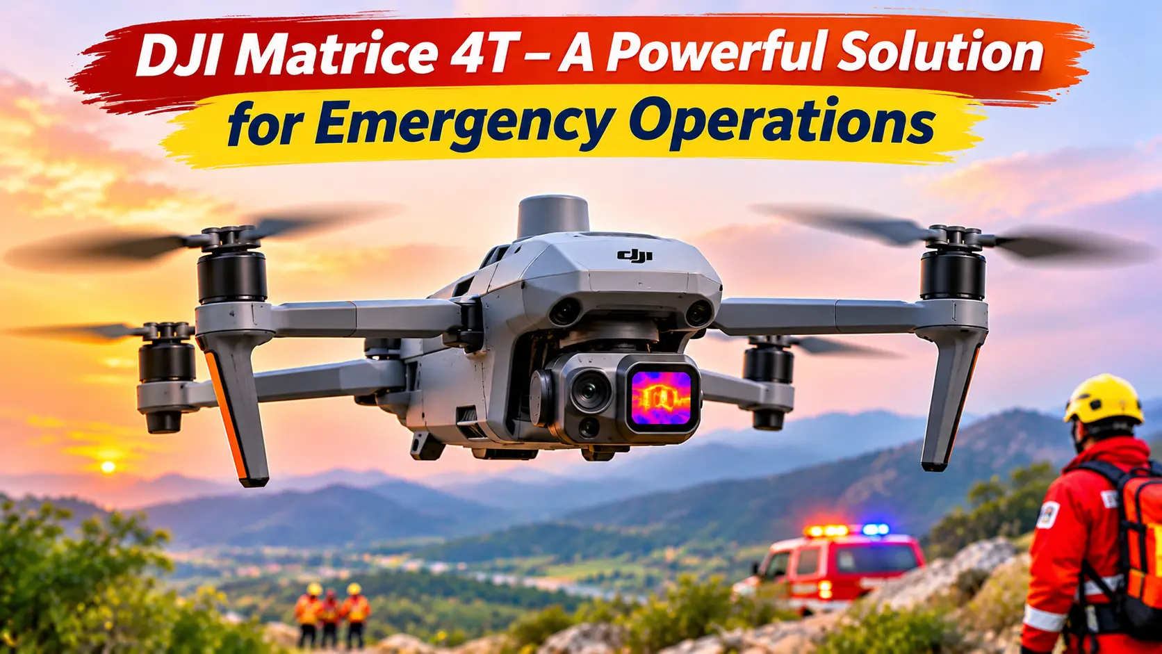
The DJI Matrice 4T is part of the systems designed for emergency and professional field operations and services. It is built for organizations needing aerial photography and inspections beyond the ordinary. The Matrice 4T can do so with its built-in infrared cameras, other normal/visible light cameras, and other special features, including a laser rangefinder. It can also do intelligent flights and obstacle avoidance. The Thermal drone is built to provide 49 minutes of flight time.
One application worth noting is the ability to locate people in hard-to-reach places. Large search and rescue operations are not always equipped to send personnel to locations of interest to inspect thermal signatures from the air.
Important features:
- 640 × 512 infrared thermal sensor
- Multiple optical cameras of different focal lengths
- Laser rangefinder
- Intelligent flight and obstacle avoidance
- Around 49 minutes of flight time
Practical benefits:
The ability to quickly assess roof temperatures can help identify problem areas, potentially avoiding the need to arrange for access to the roof and, ultimately, saving time and money.
Also Read: Best Lightweight Travel Drones: Capture Incredible Views
2. Autel EVO Max 4T V2 – Designed for Challenging Field Conditions
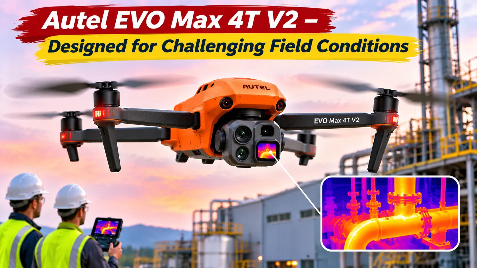
Not every inspection takes place in an open field. Some operations involve buildings, industrial facilities, restricted areas, and complicated surroundings. The Autel EVO Max 4T V2 is designed for professional applications where operators need several imaging technologies in one aircraft.
Its multi-sensor configuration allows users to collect thermal and conventional visual information during the same operation.
Important features:
- 640 × 512 thermal imaging sensor.
- Wide-angle and zoom imaging systems.
- Laser rangefinder.
- Intelligent flight planning.
- Advanced obstacle-avoidance technology.
- Approximately 42 minutes of advertised flight time.
Practical benefits:
This model can support infrastructure inspections, emergency assessments, and commercial security operations. For example, a maintenance team could investigate an overheating component without immediately arranging access to an elevated structure.
Its multiple imaging options also help operators examine objects from different distances.
3. Autel EVO II Dual 640T V3 – Useful for Property Inspections
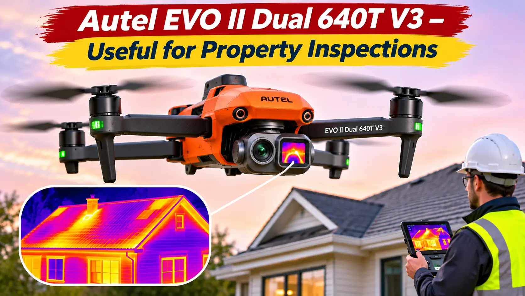
Inspections of roofs, electrical panels, and other high, hard-to-reach places are very common in property inspections. The Autel EVO II Dual 640T V3 provides users with a portable professional drone with both thermal and visible cameras.
Being able to capture images in both modes simultaneously can be extremely beneficial for inspectors to cross-check an anomaly and aid in troubleshooting.
Important features:
- 25 MP thermal camera.
- 50 MP visible-light camera.
- Flight modes with obstacle avoidance.
- Intelligent flight planning modes.
- 38 minutes of flight time.
Practical benefits:
Heat loss inspections and investigation of abnormal roof surface temperatures can be performed by building inspectors with this drone. Maintenance companies and industrial technicians can examine equipment and systems.
This drone is particularly advantageous to professionals who frequently move between inspection locations.
4. SKYDIO X10 – ADVANCED TECHNOLOGY
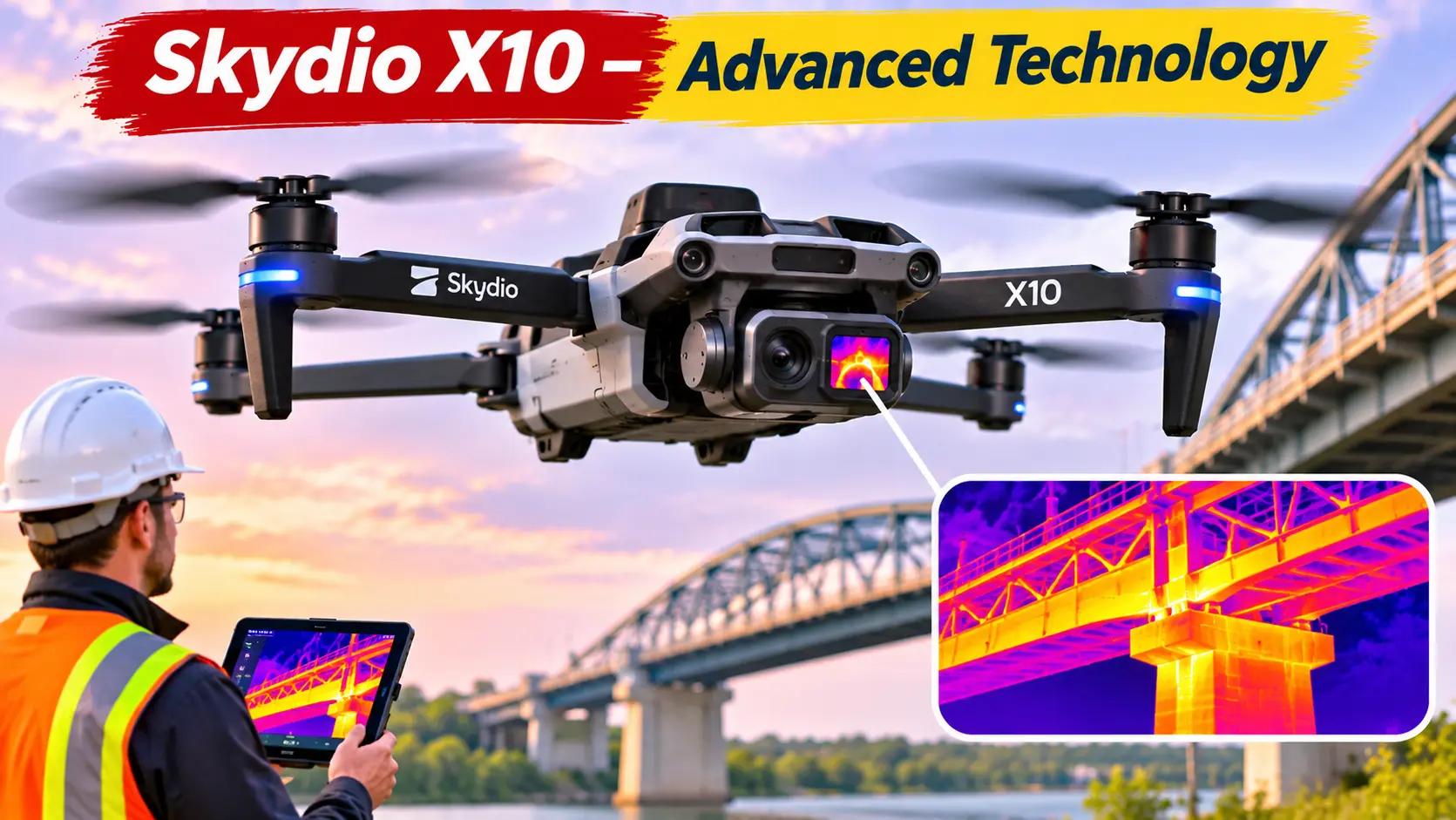
Navigation and operation of drones in some environments can be difficult. Examples include inspection of tall buildings and bridges, and other industrial and heavy structures.
Skydio focuses on autonomous flight and advanced navigation in their products. Thermal imaging capability on the Skydio X10 extends the platform to inspection of a broad range of structures and environments.
Important Features
- Thermal imaging resolution of 640 x 512.
- AI and other advanced navigation systems.
- Obstacle avoidance.
- Flexible imaging payload systems.
- Flight time of about 40 minutes, depending on payload configuration.
Practical Benefits
This drone can perform autonomous flight to allow inspectors to focus on other tasks. Public safety inspection services can perform aerial surveys of hard-to-reach places, while keeping their personnel at a safe distance.
The combination of professional imaging systems and autonomous navigation is Skydio’s key differentiator.
5. PARROT ANAFI USA – Compact Design For Mobile Teams
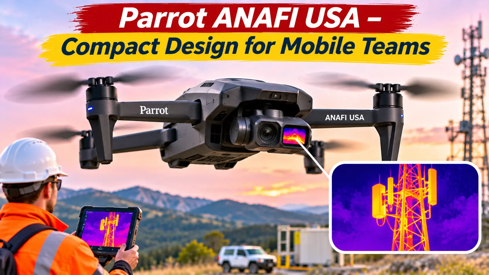
Smaller and more portable drones can be adequate for smaller inspection teams. These teams often operate in far-flung areas, such as industrial and outdoor facilities.
The Parrot ANAFI USA has professional-quality imaging systems and thermographic sensors for aerial inspections.
Important Features
- FLIR’s thermographic sensor.
- Thermal Imaging Resolution of 320 x 256.
- 18-megapixel visible spectrum camera.
- Foldable and compact design.
- Approximately 32 minutes of advertised flight time.
Practical Benefits:
Its compact design makes it convenient for mobile operations. Security teams, building inspectors, and first responders can now gather thermal data without having to transport and coordinate the use of a large enterprise-level aircraft.
Buyers should confirm what’s currently available and which camera configurations are supported prior to purchase.
Also Read: Top 5 MCP Servers for Developers: Practical Use Cases and Setup Tips
Comparison of Top Thermal Camera Drones
With specs and intended use cases compared side by side, making a choice between drone models becomes a lot easier.
| Drone Model | Thermal Resolution | Approx. Flight Time | Recommended Use |
|---|---|---|---|
| DJI M4T | 640 × 512 | 49 minutes | Emergency Operations |
| Autel EVO Max 4T V2 | 640 × 512 | 42 minutes | Industrial Inspection |
| Autel EVO II Dual 640T V3 | 640 × 512 | 38 minutes | Property Inspections |
| Skydio X10 | 640 × 512 | 40 minutes | Autonomous Inspections |
| Parrot ANAFI USA | 320 × 256 | 32 minutes | Portable Field Operations |
Where are Thermal Camera Drones Making a Difference?
Because temperature helps describe various forms of failures in equipment, in many industries thermal cameras help respond to problems that cannot be easily identified in the visible spectrum.
1. Electric Power & Utility
In the power and utility sector, numerous equipment failures begin with abnormal temperature increases. Thermal cameras can aid utility personnel in evaluating power and electrical transmission infrastructure, as well as transformers and other equipment.
Thoughtful and proactive use of thermal cameras can help prioritize maintenance and repair activities, thus reducing unplanned equipment failures and outages.
2. Fire Departments and Emergency Services
Visible flames and smoke do not always indicate the extent of a wildfire or building fire.
Thermal imaging can help firefighters locate hot spots, assess affected buildings, and find areas in need of additional attention. Thermal imaging can also help search and rescue teams find potential victims that may be difficult to find because they are hidden or in hard-to-reach places.
3. Agriculture and Irrigation
Agricultural professionals can use thermal imaging to assess different temperatures of crops, soils, and other areas.
Anomalies in temperatures across a crop field may indicate irrigation problems or water stress, and professionals can use thermal imaging to help determine possible areas of concern.
In addition to thermal imaging, professionals should take into consideration other factors, like crop conditions, the weather, and other agricultural measurements.
4. Solar Energy Maintenance
Thermal imaging can help solar power maintenance teams assess whether sections of the power plant are abnormal and too hot.
Thermal imaging can help maintenance teams gauge where to focus their time and efforts.
5. Commercial Building Inspections
Thermal imaging can also help construction professionals and building inspectors assess areas of concern on rooftops and other exterior building features.
Infrared imaging can also help professionals evaluate a building’s insulation and other potential heat loss issues.
Important Things to Check Before Buying
Not all thermal imaging drones are created equal. Here are some factors to check before making a purchase:
Sensor resolution: The more powerful the sensor, the better the detail in thermal images, which may be important if the object being assessed is far away.
Radiometric Capability: Some thermal drones are able to capture the actual temperature of objects. Check to see if the camera can do this.
Flight Endurance: Consider how long the drone can fly with the camera payload you will be using.
Environmental Protection: Look at the drone’s specifications to see if it will operate in your intended environment.
Software Support: Check to see which 3rd-party applications the drone can be integrated with.
Ownership Costs: Consider maintenance and software subscription costs when creating your budget.
Operations of drones in the USA are normally covered by FAA Part 107. Drones are subject to pilot certification, registration, and airspace authorization. Always check with the local and federal laws to verify the latest flying regulations.
Conclusion
Thermal imaging is offering businesses in the USA the opportunity to improve inspections and emergency response with the use of thermal images. Thermal images are proving to be valuable to companies in the US for inspection and emergency response scenarios. This is because thermal images can help identify patterns in areas requiring further attention.
Depending on your budget and what you need thermal detail for, the Matrice 4T or EVO Max 4T V2 can be used for advanced operations. The EVO II Dual 640T V3 can be considered for property inspections. The Skydio X10 offers advanced operations with thermal imaging capabilities.
For your business, choosing the right system can help you collect more relevant data and potentially improve your business operations.
What do Thermal Drone Cameras do?
FAQs
1. Can thermal camera drones spot people in forests?
Thermal camera drones can pick up on heat signatures in people in forests. It works best during night operations. Other factors like vegetation, distance, outside temperatures, and obstacles reduce the effectiveness.
2. Are thermal imaging drones good for home inspections?
Yes, they are good for finding oddly heated roof areas and irregular insulation. They can help find moisture related issues as well. Other tests will be required to verify the findings.
3. Is 640×512 resolution suitable for professional inspections?
A 640 x 512 resolution is a good pick for professional uses. Other factors that come into play for professional usage are the lens and the distance for the inspection.
4. Can thermal drones figure out electrical issues?
Abnormal heat signatures in electrical components can be picked up by the drones. But thermal drones can’t help figure out all of the issues in electrical components.
5. What is the weather like for thermal drone operations?
In general professional drones can be used in limited wet conditions. Other factors like humidity can affect the quality of thermal images and overall flight safety.
6. Are thermal drones expensive in the USA?
Professional thermal drones are more expensive than traditional photograph drones. Other factors that affect the price are the sensor resolution, add-on software, and business support.