LiDAR Drones Explained: The Ultimate Guide to Smarter Mapping
+
Table of Contents
- 1 What are LiDAR Drones?
- 2 Popular Apps and Software for LiDAR Drone Mapping
- 2.1 1. DJI Terra
- 2.1.1 Features:
- 2.2 2. Pix4D
- 2.2.1 Key features:
- 2.3 3. DroneDeploy
- 2.3.1 Key features:
- 2.4 Key Features of LiDAR Drones
- 2.4.1 High-Quality Point Clouds
- 2.4.2 RTK or PPK
- 2.4.3 Ground Classification
- 2.4.4 Data Fusion
- 2.4.5 Advanced Export
- 2.5 Benefits of LiDAR Drones
- 2.6 Uses of LiDAR Drones
- 2.6.1 Maps Faster
- 2.6.2 Enhanced understanding of Terrain
- 2.6.3 Less Ground Exposure
- 2.6.4 Quality Decisions
- 2.6.5 Common Purpose
- 3 Comparison of LiDAR Drones
- 4 Conclusion
- 4.1 FAQs
- 4.1.1 1. What purpose do LiDAR drones serve?
- 4.1.2 2. How do LiDAR drones compare with camera drones?
- 4.1.3 3. Can LiDAR drones be used to collect data beyond a forest?
- 4.1.4 4. Which software is used with LiDAR drones?
- 4.1.5 5. How much do LiDAR drones cost?
- 4.1.6 6. Do LiDAR drones require special training?
Mapping large areas in the past was slow and labor-intensive. It required specialized equipment and a significant amount of time, as well as fieldwork. Now, with the combination of unmanned aerial systems (UAS) and laser sensing, this process has been drastically reduced. LiDAR systems are able to capture site data and information about features from the air, such as terrain, vegetation, buildings, construction data, and infrastructure.
For many professions such as surveyors, construction firms, civil engineers, foresters, mining operations, and government agencies, this technology has the ability to speed up and improve the mapping process. Rather than having to rely on crews to conduct a mapping process, teams have the ability to now collect a plethora of spatial data and digitize it for mapping.
What are LiDAR Drones?
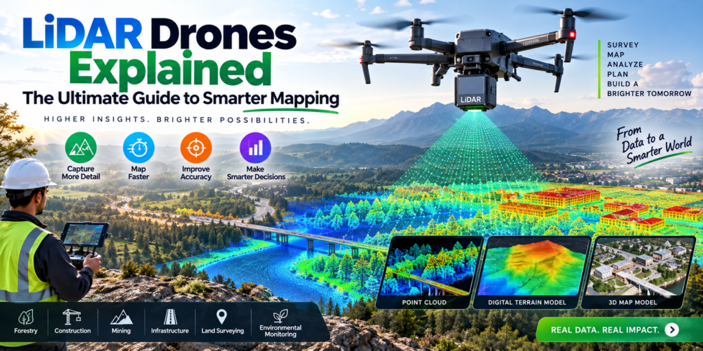
LiDAR drones are unmanned aerial systems (UAS) that are equipped with LiDAR sensors. The sensor emits a laser pulse to the ground and measures the return time of each pulse after it hits an object.
Data points are then combined to form a dense 3D data point cloud. The data from the point cloud can then be used to create maps, digital elevation models, and 3D renderings of the environment.
An advantage of LiDAR over photography is its ability to collect elevation data in situations where photography would be incapable of doing so. Fairy tales tell of traditional visual mapping and the complexities associated with terrain and structural environment. Not so for LiDAR, which is able to capture 3D measurements and provide valuable data about the environment.
How LiDAR Drones Work
To start, a drone containing a LiDAR sensor and GNSS / RTK technology takes flight. During the mapped flight, the LiDAR sensor emits a laser pulse down to the target environment.
The system captures the timing of the return of the laser pulses, and then combines that information with the drone’s position and orientation. The system then produces a point cloud.
A mapping professional can categorize points as ground, vegetation, buildings, and other objects. The final dataset will aid in the production of digital terrain models, contour maps, and 3D models, among others.
Many modern mapping tools combine LiDAR and RGB data. DJI Terra is an example of a mapping tool that can process DJI LiDAR data and can output point clouds, 2D and 3D geographic information, and classified data.
Popular Apps and Software for LiDAR Drone Mapping
Mapping LiDAR data is only part of the workflow. You also need software to classify, visualize, and export the data.
1. DJI Terra
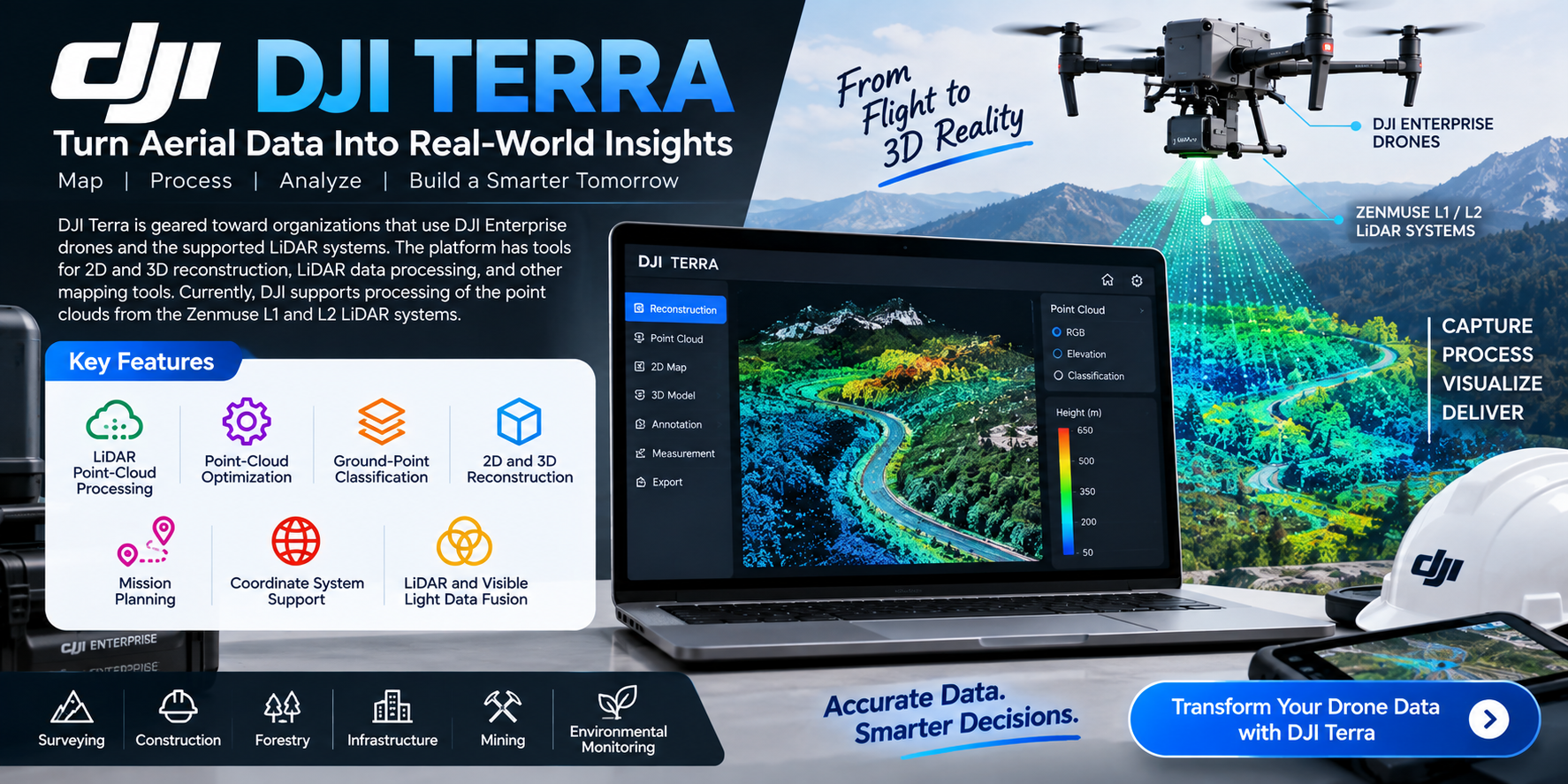
DJI Terra is geared toward organizations that use DJI Enterprise drones and the supported LiDAR systems. The platform has tools for 2D and 3D reconstruction, LiDAR data processing, and other mapping tools.
Features:
- LiDAR point-cloud processing
- Point-cloud optimization
- Ground-point classification
- 2D and 3D reconstruction
- Mission Planning
- Coordinate system support
- LiDAR and visible light data fusion
Currently, DJI supports processing of the point clouds from the Zenmuse L1 and L2 LiDAR systems. Software capabilities depend on which Terra license is selected.
Practical example: A surveying company could use a DJI Enterprise drone with a supported LiDAR payload to take survey images of a construction site, process the survey images using DJI Terra, classify ground points, and create an engineering-ready terrain model.
Also Read- Best Drones Under $500: The Ultimate Buying Guide
2. Pix4D
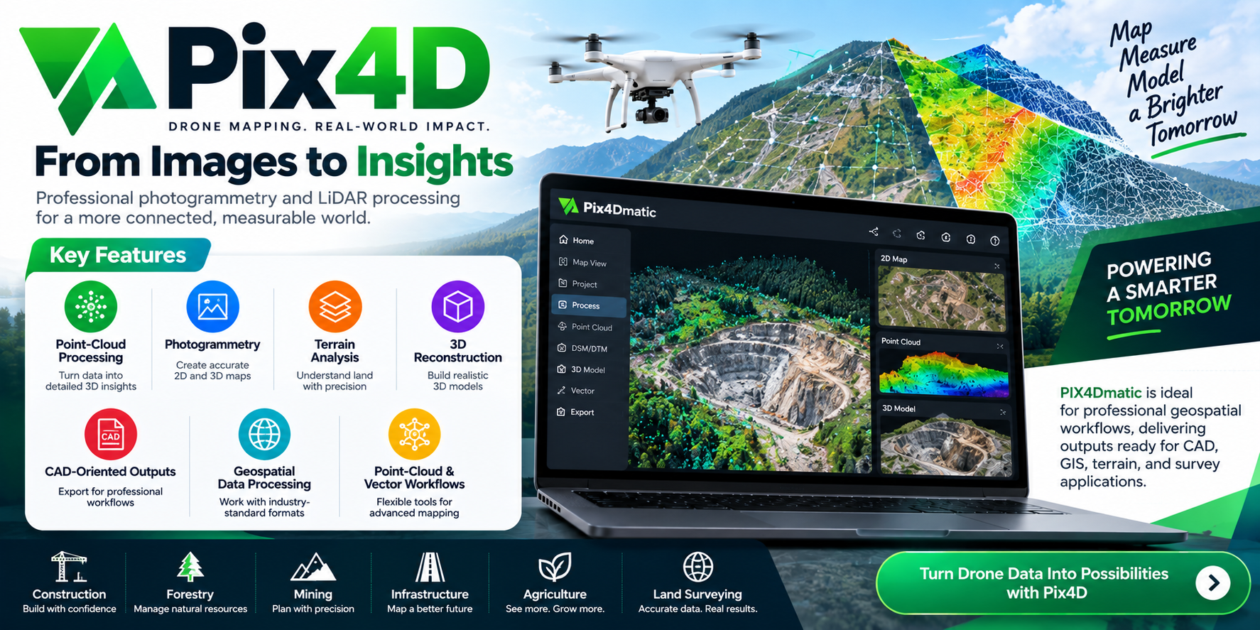
Pix4D is another well-known professional drone mapping and geospatial processing software. Its software is designed for photogrammetry, LiDAR, terrain processing, and professional mapping outputs.
Key features:
- Point-cloud processing
- Photogrammetry
- Terrain analysis
- 3D reconstruction
- CAD-oriented outputs
- Geospatial data processing
- Point-cloud and vector workflows
PIX4Dmatic is most relevant for professional geospatial workflows where clients/customers require outputs that can be used within CAD, GIS, terrain, or survey work.
Practical example: A civil engineering company could use aerial images along with LiDAR imagery to produce a detailed terrain model in preparation for the planning and design of a roadway or other site development project.
3. DroneDeploy
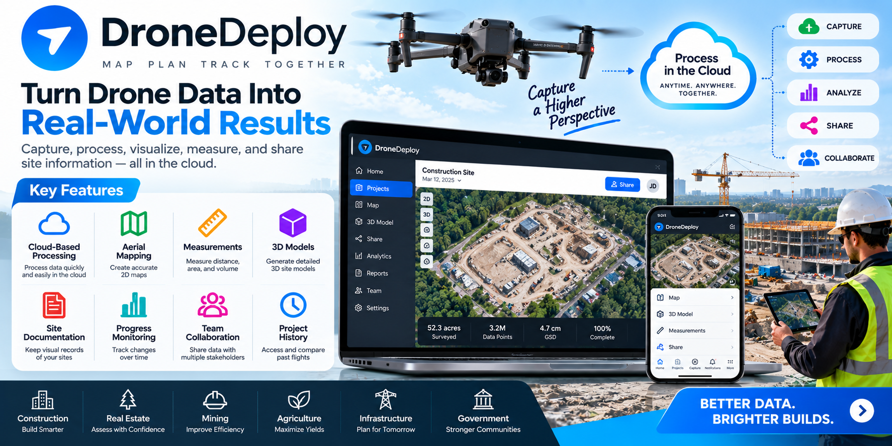
DroneDeploy has taken a more cloud-services-oriented approach to drone mapping. Its software is designed for capturing, processing, visualizing, measuring, and sharing site information.
Key features:
- Cloud-based processing
- Aerial mapping
- Measurements
- 3D models
- Site documentation
- Progress monitoring
- Team collaboration
- Project history
DroneDeploy is useful in situations where outputs of mapping services need to be shared with multiple stakeholders, instead of being restricted to GIS or surveying specialists.
Practical example: A construction company could take multiple surveys of a jobsite over time to create a series of maps that could be used to record progress of the work, document changes that occur over time, and record measurements that could be sent to the project managers.
Key Features of LiDAR Drones
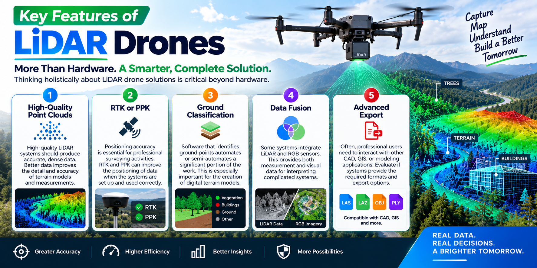
Thinking holistically about LiDAR drone solutions is critical beyond hardware.
High-Quality Point Clouds
High-quality LiDAR systems should produce accurate, data that are dense. Better data improves the detail and accuracy of terrain models and measurements.
RTK or PPK
Positioning accuracy is essential for professional surveying activities. RTK and PPK can improve the positioning of data when the systems are set up and used correctly.
Ground Classification
Software that identifies ground points automates or semi-automates a significant portion of the work. This is especially important for the creation of digital terrain models.
Data Fusion
Some systems integrate LiDAR and RGB sensors. This provides both measurement and visual data for interpreting complicated systems.
Advanced Export
Often, professional users need to interact with other CAD, GIS, or other modeling applications. Evaluate if systems provide required formats and export options.
Benefits of LiDAR Drones
There are several evident benefits of using LiDAR drones that explain their widespread use.
| Benefit | Description |
|---|---|
| Faster Data Collection | Improves efficiency compared with conventional methods for measuring large areas. |
| Detailed 3D Data | Provides detailed data for analyzing structures, terrain, and surfaces. |
| Vegetation Mapping | Captures data from beneath vegetation canopies for better terrain analysis. |
| Field Work Minimization | Reduces the need for extensive manual surveys and on-site fieldwork. |
| Accurate Measurements | Provides highly accurate elevation and terrain measurements. |
| Easier Visualization | Creates 3D models for digital representation and analysis of surfaces. |
| Safer Operations | Collects data from locations that are dangerous, remote, or difficult to access. |
Uses of LiDAR Drones
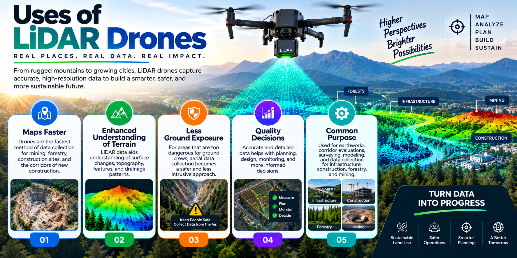
Maps Faster
Drones are the fastest method of data collection for mining, forestry, and construction sites, and the corridors of new construction.
Enhanced understanding of Terrain
LiDAR data collection aids understanding of surface changes and features, as well as the topography and drainage of terrain.
Less Ground Exposure
For areas that are too dangerous for ground crews, aerial data collection becomes a safer and less intrusive approach.
Quality Decisions
Useful data aid planning and monitoring.
Common Purpose
Used for earthworks, corridor evaluations, surveying, modeling, and data collection for infrastructure, construction, forestry, and mining.
Also Read- AI Spreadsheet Tools: Powerful Ways to Work Smarter
Comparison of LiDAR Drones
| LiDAR Drone Platform | Best For | Key Strength | Positioning | Typical Use Cases |
|---|---|---|---|---|
| DJI Matrice 350 RTK + Zenmuse L2 | Surveying & Mapping | High-Precision LiDAR + RGB Data Collection | RTK/PPK | Topographic Surveys, Forestry, Construction, Utilities |
| DJI Matrice 400 + Zenmuse L2 | Large-Area Mapping | Extended Enterprise Workflow & Payload Flexibility | RTK/PPK | Large-Scale Surveying, Infrastructure, Terrain Mapping |
| Freefly Astro Max | Professional Mapping & Inspection | Flexible Payload Ecosystem | RTK-Capable Workflows | Mapping, Inspection, Public Safety, Industrial Applications |
| Inspired Flight IF800 Tomcat | U.S. Enterprise Operations | Heavy-Payload Capability & U.S.-Focused Platform | RTK Options | Surveying, Infrastructure, Defense, Industrial Mapping |
| DJI Matrice 300 RTK + Zenmuse L2 | Existing DJI Enterprise Fleets | Proven LiDAR Mapping Workflow | RTK/PPK | Surveying, Forestry, Powerline Inspection |
How to Choose the Right LiDAR Drone
The best system depends on the project rather than simply the highest specs.
Think about the sensor, flight time, positioning, payload, software, point-cloud density, accuracy, and the data-processing workflow.
Think about the area you need to map. For large commercial operations, you may need an enterprise drone along with an advanced LiDAR payload, RTK/PPK positioning, and professional processing software. Smaller operations may just need a smaller system.
Evaluate the total cost of ownership. The drone, sensor, software, batteries, processing hardware, training, and support all add to the total cost of the project.
Conclusion
LiDAR drones offer professionals unprecedented levels of detail about dimensions and structures across varied environments. Through aerial mobility, mounts for specialized positioning systems, laser sensing, and robust post-processing software, complex environments can be captured and summarized into useful digital libraries.
With the advent of DJI Terra, Pix4D, and DroneDeploy, mapping and data processing have evolved and streamlined the workflow from data capture to processing, analysis, measurement, and collaboration. The right software for the project depends on the designated level of accuracy, industry, drone platform, software, and collaborative interface.
Professional workflows for surveys, construction, forestry, mining, and infrastructure that integrate and optimize LiDAR will result in faster collection of more relevant data.
FAQs
1. What purpose do LiDAR drones serve?
LiDAR drones collect three-dimensional data that can be used in surveying, construction, forestry, mining, terrain modeling, and other mapping activities.
2. How do LiDAR drones compare with camera drones?
Both LiDAR and photographic drones have their place. Camera drones can capture data for plenty of mapping activities, while LiDAR sensors can be used in cases that are more complex and challenging.
3. Can LiDAR drones be used to collect data beyond a forest?
Leafy canopies can make it difficult to collect data, but active LiDAR systems should be able to collect data and penetrate the canopy. Performance will be dependent on the density of the vegetation, flight parameters, sensor specification, and data processing.
4. Which software is used with LiDAR drones?
DJI Terra, Pix4D, and DroneDeploy are a few options available. Your choice will be dependent on sensors, desired outcomes, and the drone.
5. How much do LiDAR drones cost?
Professional LiDAR systems are not cheap. There is a significant price hike compared to top-end camera drones, which are already a significant investment. These systems are comprised of specialized sensors, aircraft, positioning technology, and processing software. Like everything in this world, costs vary by platform and configuration.
6. Do LiDAR drones require special training?
Professional mapping requires a level of expertise in drone flight, flight planning and management, inclusion of LiDAR sensors, and understanding of surveying and coordinate systems as well as accompanying data processing systems. In addition, operators must abide by all applicable laws and regulations pertaining to commercial flight activities.